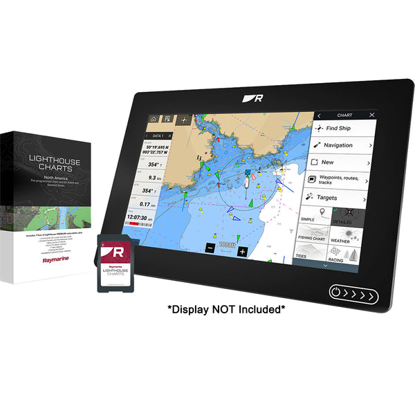


Raymarine LightHouse Chart North America
Description
LightHouse North America microSD Format Electronic Chart by Raymarine. Take command of surrounding waters with LightHouse Charts. Discover visually stunning, customizable charts with color-shaded depth contours, data-rich points of interest, and superior clarity that only Raymarine can provide. LightHouse Charts will give you the ability to uncover every detail and explore without limits. LightHouse Charts are compatible with Raymarine Axiom, Axiom+, Axiom Pro, Axiom XL, and Raymarine Element.
Features
- Toggle between the information-rich professional S-52 government chart style and the LightHouse leisure chart style for your preferred view of key cartographic data
- Access Mapbox-powered high-resolution satellite imagery for a complete view of streets, shorelines, and shallows for informed decision making
- Quickly find local marinas, fuel stops, service stations, and more with an ever-expanding points of interest library from the best marine databases
LightHouse Charts bring a new level of chart plotting clarity to Raymarine Axiom and Element displays. Created from official hydrographic chart sources, LightHouse Charts offer maximum readability, intuitive navigation, and superior quality. Four distinct colour palettes provide the best possible viewing conditions around the clock and chart symbol controls give you the power to customise the charts to your personal preference. Subscribe to LightHouse Charts Premium to access continuous chart updates, an expanded points of interest (POI) library, and enhanced satellite imagery for a powerful, sophisticated take on marine navigation.


